Human life first.
Then a blind gamble.
Every mariner knows the drill: in an emergency, human life comes first, without question. But once the crew is secure, a critical subsea blind spot opens up — what happens when the steps taken to save a damaged vessel collide with infrastructure nobody on the bridge can see?
On 15 May 2026, off Macaé in Rio de Janeiro, the Skandi Amazonas — a 95-meter, 4,700 dwt anchor-handling tug supply vessel operated by DOF — struck an uncharted rock formation near Ilha de Santana while working a project for Petrobras. The impact breached her hull.
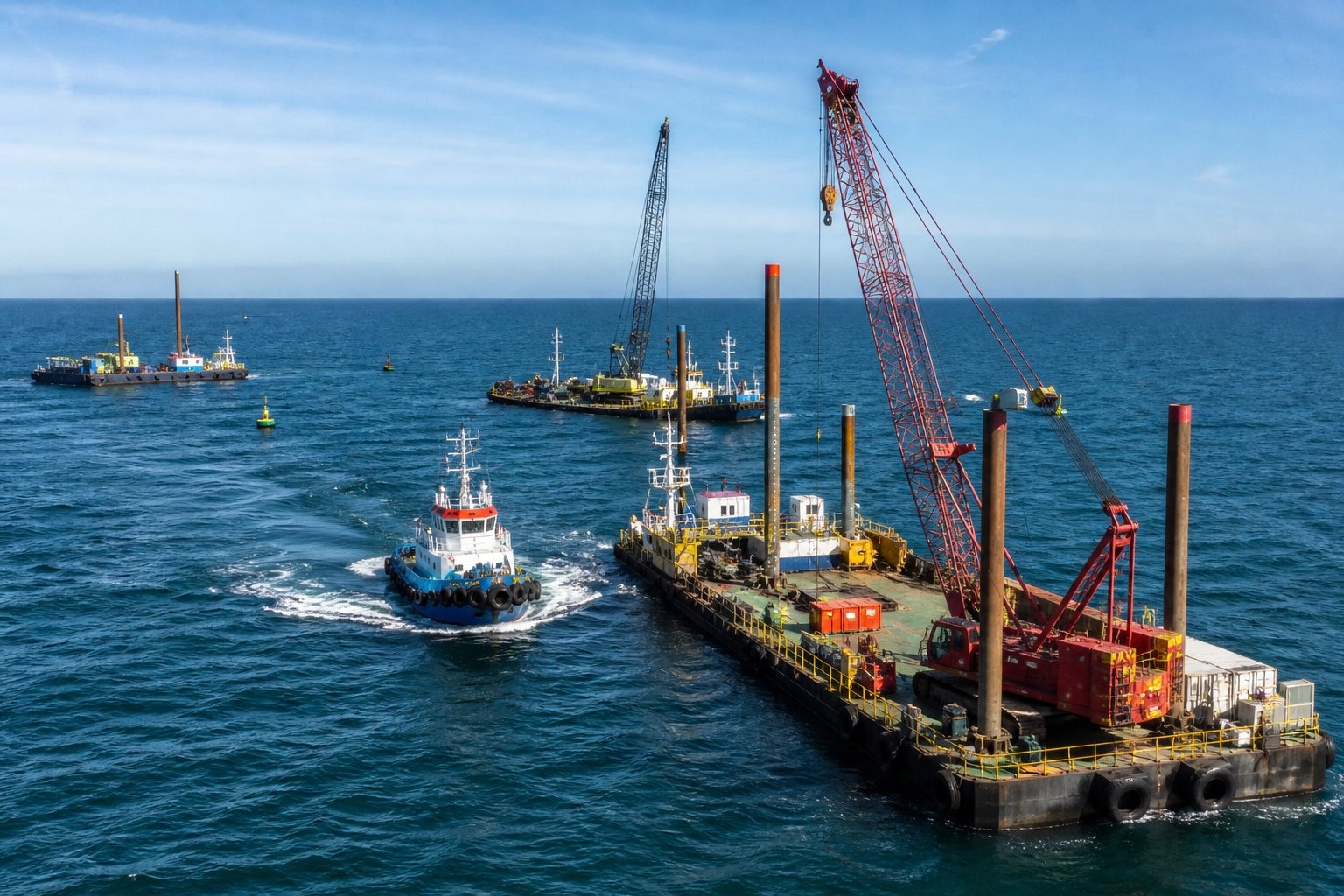
With water flooding the starboard engine room and main propulsion knocked out, the crew faced an uncontained flood. To stop the ship from sinking, the decision was made to run 4.2 nautical miles toward shore, intentionally grounding the vessel 200 to 400 meters off the Macaé waterfront to plug the breach with the sandy bottom.
The blind spot
of salvage.
Grounding the ship successfully stabilised it. It also exposed a massive operational blind spot. Once the safety of everyone on board is secured, maritime teams naturally focus entirely on saving the ship — frequently unaware of what lies directly beneath the hull.
Macaé is the onshore hub of the Campos Basin, Brazil's historic offshore oil heartland. The shallow waters off the waterfront are a crowded highway where surface vessel traffic sits directly on top of a dense, hidden web of active pipelines, wellheads, and communication cables — completely invisible on standard radar and navigation displays.
By grounding the ship to stabilise it, the response team unknowingly rolled the dice. Without visibility of the seabed, a salvage strategy designed to save a $10M vessel could have settled directly onto a high-pressure export line — triggering a $100M+ environmental and infrastructure disaster.
This story ended well — but relying on luck to avoid striking underwater infrastructure during an emergency grounding is not a risk-management plan.
Saving the ship and protecting the pipeline shouldn't be a trade-off. They only look like competing priorities when the seabed is invisible to the people making the call.
Why this case
matters for SEARA-SIPS.
This is the same gap the USCG and NTSB flagged in the San Pedro Bay investigation — the need for automated encroachment alerts that connect surface emergency response to subsea reality. SEARA-SIPS closes it directly.
SIPS maintains a continuously updated map of every subsea pipeline and cable, tracked alongside live surface vessel telemetry. The moment a vessel shifts into an anomalous navigation status — like a 4.2-mile run toward shore — predictive analytics project its trajectory against the subsea infrastructure layout in real time.
Automated alerts go out via VHF to the vessel, the asset operator, and port authorities simultaneously. Instead of a response team operating blind to the seabed, everyone works from the same real-time picture — so saving the ship and safeguarding what's beneath it stop being a gamble.